
Ramat Bet Shemesh Alef
M3 Neighborhood Directory
Weekday minyan times, shul contacts, shop hours, local service providers, WhatsApp groups and maps for residents of M3.
Suggestions and corrections: feedback@m3rbs.com
About M3
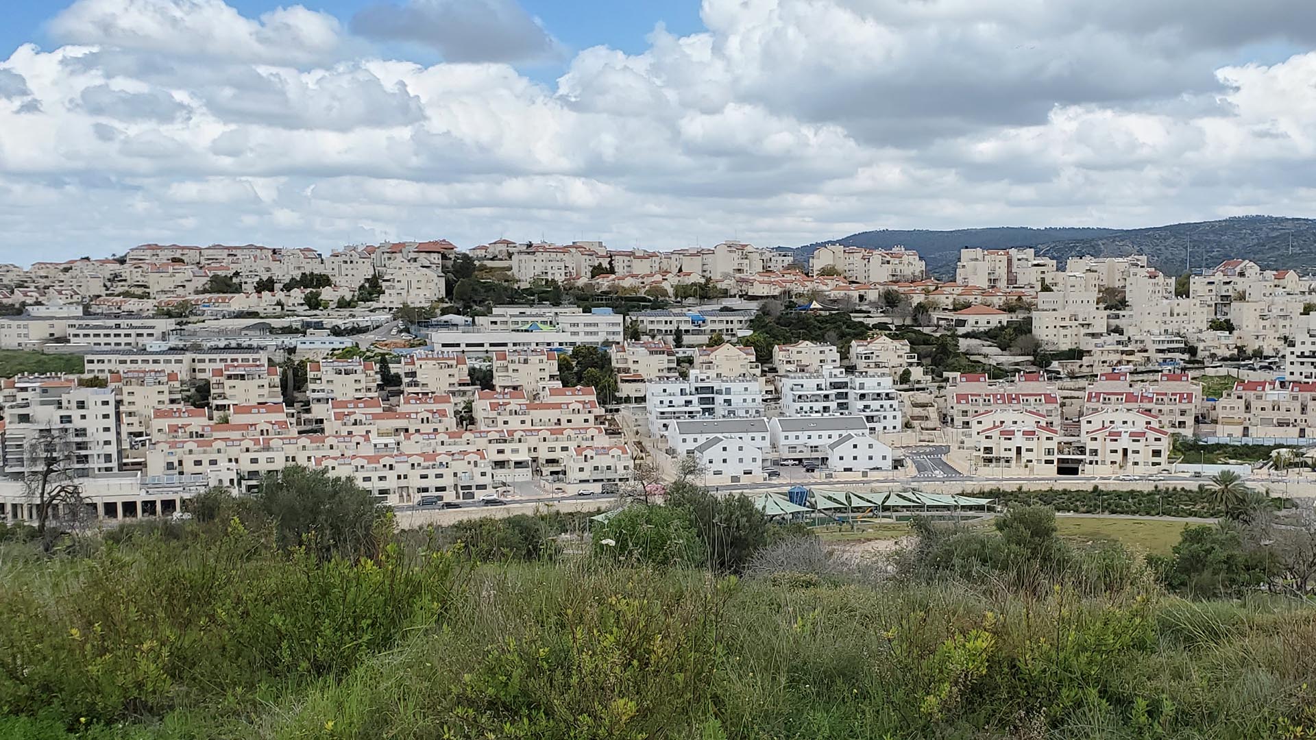
The southern edge of Ramat Bet Shemesh Alef, along Nachal Yarmut park.
The M3 neighborhood, which makes up the southern edge of Ramat Bet Shemesh Alef, is centrally located among Bet Shemesh's various "Ramat" areas. All of M3 is within easy walking distance of the rest of RBS Alef, as well as parts of RBS Gimmel and Hey.
M3 is a wonderful religious community of olim (mostly from English-speaking countries) and Israelis, living harmoniously along the pastoral Nachal Yarmut park. Housing consists of cottages and apartments, interspersed with shuls, playgrounds, ganim (kindergartens) and one school. The neighborhood has a small shopping center, containing a supermarket, several fast-food eateries and a gift shop.
Why is this neighborhood called M3?
We've heard that it has something to do with an old government planning map for the development of this area, but... if you can tell us the exact source of this name, we would be happy to mention it here and give you the credit!

Photos
Send us your most stunning photos of M3 and maybe we will feature them here!


Contact
Email us at feedback@m3rbs.com or use this form.